
June 2001, just shy of 20 years ago, I was that North Jersey 13 year old, wearing my school logo polo shirt. Touring around Washington D.C. for three days, taking it all in, and thinking we were so cool to be away from our parents. Before cell phones, before digital cameras, my classmates and I clicked around our disposable cameras, hoping for some quality pictures to look back on. This being one of those beauties…

Now that I am a teacher, working with 8th grade students, I love to see the excitement and curiosity they have when it comes to their very own trip to Washington D.C. They want to know who their partner will be, who they will be rooming with, who their chaperone will be, what monuments will they see, can they bring snacks? So many questions, not once did we ever think that one of them would be whether or not they would have to cancel.
Then, March 13, 2020, the world stops. At least, that’s how it feels when you are 13 and now told that you must stay home. No social events, no picnics, no end of year parties, no dances, and no Washington D.C.
In a normal year, once state testing is finished (usually beginning to mid-May), we begin projects focused around Washington D.C. In their ELA and Social Studies classes, they begin researching a chosen landmark/monument/museum; in World Language, they create brochures. For Math, using a map as reference, the students create a poster sized coordinate grid. Plotting points for 40 different locations in and around Washington D.C. Using the Ellipse as their origin, they measure how far North/South and East/West their location is. Using Pythagorean Theorem they calculate the distance in units, then multiply to calculate the distance in feet. Lastly, they decorate beautiful pictures on their coordinate grid of something from Washington D.C. whether it be a flag, the cherry blossom trees, or the Washington Monument.

Being that we are out of the classroom, I still wanted to students to do this project but had to figure out a way to modify it for online distance learning.
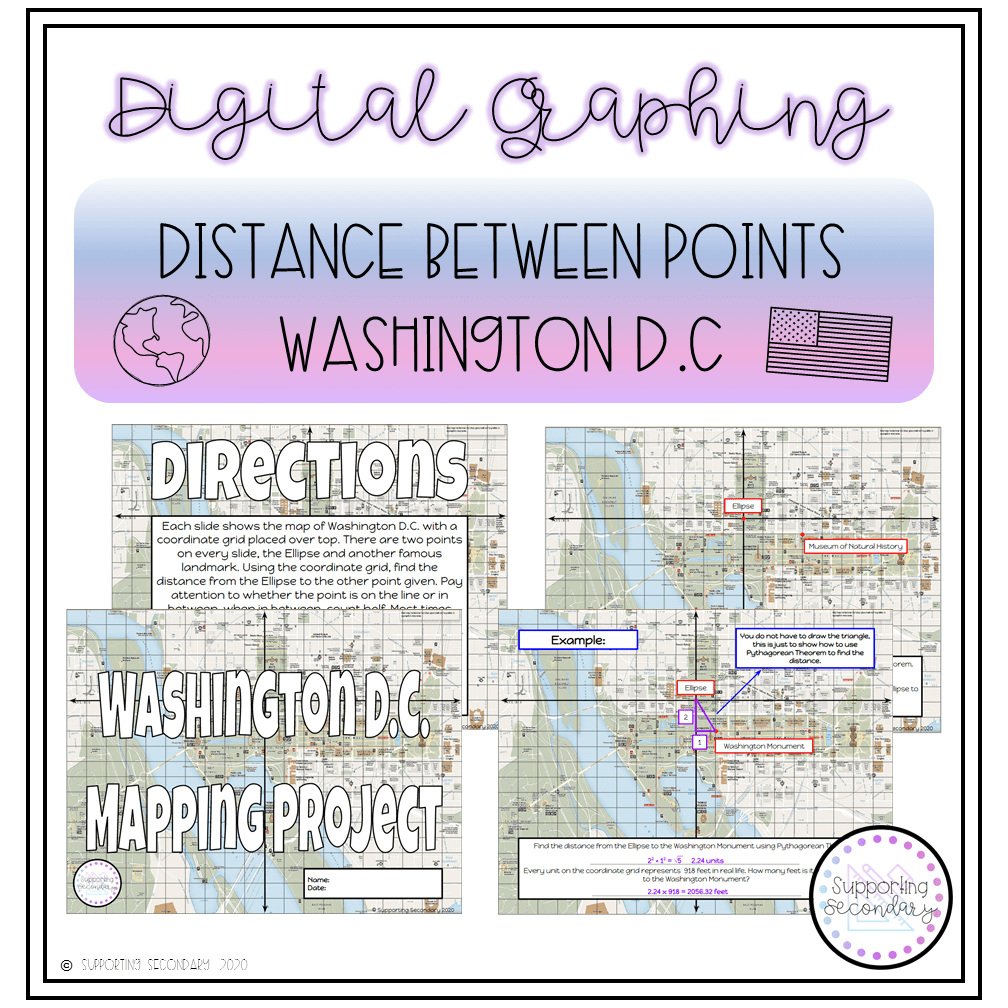
Students will each receive a copy when assigned through Google Classroom. On each of the slides there are two points, the Ellipse at the origin, and another landmark/building that is located in/around The Mall of Washington D.C. Many of the locations are places that the students would visit while on their three day trip including The Lincoln Memorial, The Tomb of the Unknown Soldier, The Vietnam Veterans Memorial, and The Marine Corps Memorial to name a few. There are 30 different locations so there are 30 different slides for the students to solve.
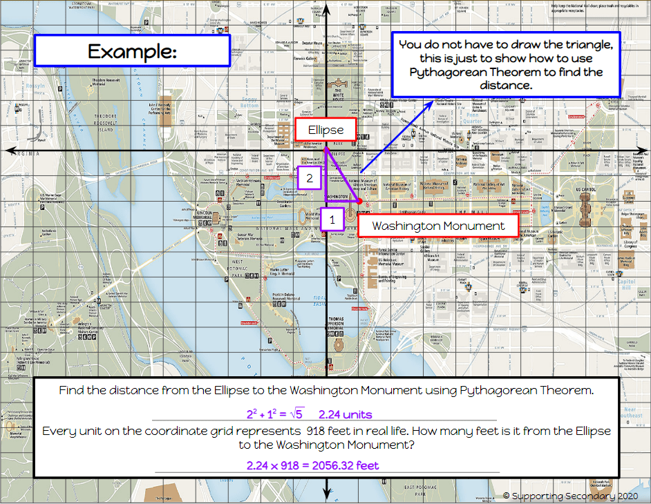
Given the two locations, students will count the distance North or South as well as East or West to create the legs of the right triangle. Using these numbers, and Pythagorean Theorem, they will solve for the distance between the points in units. Once they have their units, they will multiply by 918 to find the distance in feet. I am using 918 because the map states that there is two miles between The Lincoln Memorial and the U.S. Capitol Building, that being then 10,560 feet. Using this, and the distance they are separated on my graph (11.5 units), my rounded estimate is that each unit is 918 feet. Students type both answers into the text boxes provided on each slide.

This coming week is when my students were scheduled to take their trip to Washington D.C. As a team, the eighth grade teachers and myself have each come up with a virtual tour/assignment for the students to complete throughout the week. For me, my students will be dividing this into a two day project. On Mondays, I host Google Meet sessions with my students. So tomorrow, June 1st, I will walk my students through the first 15 locations. This way I know they will be ready to go to complete the second 15 on Tuesday.
